Thursday, June 9, 2016

Feral Hogs and Lots of Mud: Return To Buckeye Trail


Texas Buckeye Trail: 7000 Bexar Street, Dallas, TX
Headed up the levee
After being turned around due to flooding on the trails on Sunday, I decided it would be nice to come back to this trail. So I got my friend Emerson and headed over to the south end of Bexar street at around noon on Thursday. It was a nice day: slightly cloudy with temperatures in the low to mid 80's. We pulled up to the cul de sac outside Bonton Farms at around 12;30 and got going.

Entrance to the trail
Walking into the trail, it was evident that most of the water had dried up. We could even see some of the dried up footprints I had left behind from Sunday. After walking a few minutes, we reached the split in the trail. Luckily for us, the Buckeye Trail was not under water, so we pushed through the brush into the forest.

The Buckeye Trail trail head
It was immediately clear that the trail was very overgrown. It seemed as if no one had been through in months. There were fallen trees in the path, and the vegetation was crowding the trail. It was also extraordinarily muddy. None of this was a problem to us, though, because we had dressed appropriately. 

Maybe an old fence post?
After a few minutes, we reached what seemed to be an old fence post leaning against a fallen tree to form an arch, like an official entrance into the Great Trinity Forest. We stopped for a few pictures and kept going, dodging fallen trees and spider webs.

Fallen trees making things difficult
The trail was marked every couple hundred of feet with either a post that pointed in the direction of the trail or an orange ribbon tied to a bush or tree. Despite this, it was still pretty difficult to figure out which way we were supposed to be headed. There were a few times when we couldn't tell if we were following a game trail or the actual trail, and there were a few times when we actually had been following a game trail and had to backtrack to find the real trail.

One area where the real trail was difficult to find
We eventually made our way to the Buckeye Loop, and made it all the way to near the edge of the Trinity River (I assume - we could hear rushing water) before we ran into any trouble. And by trouble, I mean feral hogs. As we were halfway through the loop. I heard a loud crack and turned to my right only to see a giant feral hog running into the woods. We immediately froze, not knowing what to do in this type of situation. We then saw several other hogs walking behind a thin line of trees maybe 100 feet from us. We decided not to take our chances on anything, not knowing about how to deal with feral hogs and whether it would be safe or not to proceed, so we turned around and headed back out the way we came.

Believe it or not, this trail is paved
When we got back out of the trail and at the split, we decided to follow the paved path to the Trinity Overlook. Even though the trail was paved, the cement was covered in about an inch of dried mud at all times, and there were several fallen logs in the way, so this was not a walk in the park, but it was miles easier than the muddy and overgrown Buckeye Trail.

The views at the Trinity Overlook were stunning. Even though the Trinity is a pretty gross river, it was still great to be standing on its banks and hearing the rushing of its waters. We stood there for a few minutes taking pictures and soaking in the beauty before heading back out.

The Trinity River
Overall, this was a solid adventure. I got my fill of adrenaline when we ran into the feral hogs, and I was thoroughly satisfied with the views. I would definitely do this trail again if the mud were to dry.

Tuesday, June 7, 2016

Spring Creek Forest Trail

Spring Creek Forest Trail: 1770 Holford Rd, Garland, TX

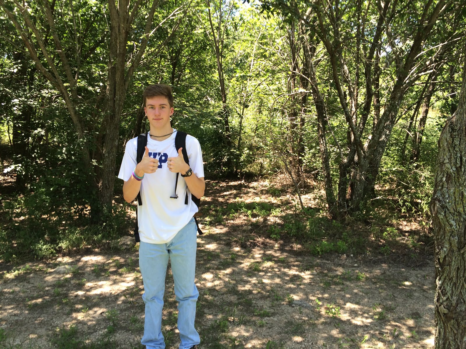
After a day of rest following my first adventure, I decided it was time for another expedition. I did a bit of research and decided to go to Spring Creek Forest Trail in Garland, and I shot out a few texts to try to gather a crew to go with me. I ended up only getting one guy to go, but that was fine, because this one guy is awesome.
We left at around 12, but we stopped at Sonic on the way and ended up getting there at 1. The drive over was easy; finding the parking lot was the only semi-challenging part of getting there. To help future visitors: it's on your right as you're going down Holford Rd, right past an open yellow gate. We pulled into the parking lot, which had about 4 other cars in it. There were several people walking around on the paved paths, and even a group of skateboarders. It was still very peaceful, even though we were not alone.
The parking lot
The bathrooms and shaded area
There was a small bathroom facility next to a shaded sitting area. From this sitting area, there were two dirt paths leading off into the forest and one paved path. We decided first to go down one of the natural surface paths, which lead us down into an empty creek bed. We meandered around a little, but much of the area proved impassible, so we turned around and followed a faint trail back to the concrete trail.
Adam and the entrance to the first path

The empty creek bed
We decided to keep following the concrete trail to the Spring Creek overlook. It was a short hike, and the creek was beautiful.
Spring Creek
Following the creek bed
At this point, there were two options: go down into the creek bed and walk along the creek, or continue straight onto an unpaved trail. We decided to follow the creek bed, then come back and follow the trail later. 
The creek bed took us about 15 minutes to travel, until we reached a bed of stones. Someone before us had stacked the stones in the bed neatly into little towers, Blair Witch Project style. The end of this bed dropped off, and there was no surface to continue walking on, but there was a wide and steep trail leading up to the top of the bluff. 
The Blair Witch is near
We followed the trail up, and it ran for a few hundred feet before dropping us off near the end of the concrete trail. Dissatisfied with the destination, we turned back around, and hiked back along the creek bed up to the overlook, where we followed the other trail.
The other trail lead us through the forest, as we slowly gained a bit of altitude. The forest then opened up into a beautiful field populated with native plants and grasses.
The field
At this point, we encountered a sign that said "Trail Detour" and pointed to the left. We decided to follow the trail until its end, then come back and do the detour. The trail continued through the field, then dropped off at the concrete trail, so we turned around and headed for the detour.
The detour ended up being a confusing system of faint trails designed to somehow make you lose all sense of direction. About 15 minutes into this "detour" we had completely lost the trail and had no idea where we were. We just kind of aimlessly wandered around through whatever area seemed passable until we, by some miraculous act of God, found the concrete trail.
We have no idea where we are
After this, we wandered around through whatever trails we could find for about another hour, then decided to see where the concrete trail ended. Turns out that it ends at Garland Road, next to the overpass. Since we were there, we decided to see if we could find any trails under the overpass, which we could not. After this, we decided to explore a few more trails, then head back to the car and go home.

Underneath Garland Road
Overall, this adventure was a huge success. There was not much poison ivy, nor did we see any snakes, and we definitely got our fill of adventure in. I would definitely come back here another time.

Monday, June 6, 2016

A Soggy Beginning: Texas Buckeye Trail

(I apologize for lack of pictures. I took this adventure before I decided to blog about it and didn't think to take many pictures.)

So as I was laying in bed on this aforementioned Sunday afternoon, I began researching just exactly what there is to explore in Dallas. A quick search brought up the Texas Buckeye Trail, a popular trail through the Great Trinity Forest. So I did some research just to figure out where I was going and what I was gonna be doing, called up a couple of friends, packed my bag and got going.
We rolled up to the entrance, a cul de sac at the south end of Bexar street right next to Bolton Farms, in my jeep at about 2:30 pm. I was worried about parking before we got there, but there are parallel spaces all down the right side of the street and in front of Bolton Farms, and the area was not crowded. Parking was definitely not an issue. There were two other cars there, and we saw a group of college aged guys headed up the levee. We checked out the map, and I took a picture for later reference, just in case we were to get terribly confused.
The map at the entrance to the levee
We didn't make it far before we did end up getting terribly confused. We walked across the small footbridge and diagonally up the levee, following the stone trail until we got to the top of the levee, at which point a gravel trail continued across the levee east and west. We didn't know where the trailhead was, and had to consult the above picture to figure out that it was actually to the west. With that confusion cleared up, we continued the expedition westward, until we spotted the trailhead.
The path that leads to the top of the levee

There was a narrow dirt path that lead down to the concrete trail, which lead into the forest. Having finally found the beginning of the trail, we excitedly embarked on our first exploration. We got about a quarter of a mile into the forest, then noticed that the entire trail up ahead was either covered in slick mud or under water. We decided to push on anyway. We continued walking, and a few minutes later, we came to the split in the trail. We could go left and follow the unpaved Buckeye Trail to the Buckeye Grove Loop, famous for its beautiful Buckeye blooms in the spring, or we could continue down the paved trail to the Trinity Overlook. As much as I would have loved to go down the Buckeye Trail, this was impossible, because the trail was under a foot of water. The only option was to continue down the paved trail. 
So continue we did, but not for long. About a hundred yards down, we realized that the paved path, too, had succumbed to the flooding. It was impassible, the whole trail from that point on having been converted into a pond complete with two to three inch long crawdads and tadpoles. It was a beautiful sight, but it meant no forest for us that day. We were forced to turn around.
Looking at the levee from the trailhead

We made our way back out of the forest, wondering what to do next. I wasn't leaving until I had had my fill of adventure, so we decided to walk along the levee and look for anything that might seem adventurous. After about 15-20 minutes of walking along the levee, we came across the entrance to Rochester Park, a seemingly neglected lake with a small island in the middle. We walked around a little and spotted a few interesting sights including a small alligator gar, a snake, and a wooden table with fishing hooks and mutilated minnow remains on it.
We made our way back to the levee and walked down for about another 30 minutes, until the levee curved and headed toward the highway. At this point we turned around and made our way back to the jeep.
Overall, it was a successful adventure. While we didn't get much time in the woods, we did get to do some exploring, and discovered an amazing area of Dallas we hadn't ever even thought of before. We will be making another journey back here in the near future, hopefully when the trails aren't flooded.


A Brief Introduction

I was laying in my bed on a Sunday afternoon, when I realized that I was extremely bored. I needed to do something, but what is there for a broke teenager in Dallas to do on a Sunday afternoon? Suddenly, it hit me. Exploring. Having lived in Dallas for about 13 years, I've become calloused to the awesome stuff there is to do here. But there's so much to do that I hadn't ever thought about. For instance, until this summer I had only been to White Rock Lake once, and I only live about 3 miles from it. Or, did you even know the Great Trinity Forest existed? Yeah, there's 6,000 acres of undeveloped bottomland woods less than 15 miles from downtown at its furthest point.
As I was laying in bed on this Sunday afternoon, I decided that it was time I finally explored everything Dallas has to offer. So follow me and my friends on this journey, as I do just that.